
Trace an Edison Street Address
An address-led Edison by-street search has a clear order. Start by confirming the delivery address, then move to the land identifiers that government systems actually use. In Edison, the assessor, GIS map, and County Clerk are related, but each holds a different part of the trail. A recorded owner or grantee is not the same thing as an occupant, so retain the source label beside every name. The final Edison directory step is historical and date-specific, rather than proof of who occupies a property today.
- Normalize the address, including its unit if one is supplied, then verify its current delivery ZIP with the USPS ZIP Code Lookup.
- Run the verified location through the Edison assessor route and record the parcel or PAMS-PIN when available.
- Confirm the parcel’s map relationship in Edison ArcGIS or the county parcel layers, then preserve the map query date.
- Write down the county tax block, lot, and qualifier rather than relying on a street-name match alone.
- Use those identifiers in the Middlesex County Clerk browser to locate the recorded instrument, book/page, or legal-description trail.
- For an older household clue, record the directory year, printed section, and page as a separate dated source.
The route is address to USPS result to parcel or PAMS-PIN to block and lot to Clerk instrument to directory entry. For an Edison apartment or shared building, retain the unit while treating the parcel as the legal-record key. The New Jersey Voter Search is not a street-by-street resident roll. It is designed for an individual to check that individual’s registration status, and the official research did not establish a public Edison street list.
Note: Keep the query date, address form, and source label together so a later reader can tell a delivery check from a recorded-property result.
Edison Street Directory Parcel Keys
The Edison Township Tax Assessor links to TaxDataHub for current assessment and sales context. The municipal office says it maintains information on more than 28,000 properties, including ownership, mailing address, location, year built, land size, and structural characteristics. TaxDataHub’s Edison setting is district 1205 and exposes routes for owner name, property location, block, lot, and qualifier. Those fields help turn an Edison street address into a searchable parcel record.
| TaxDataHub field | How it is used | What to preserve |
|---|---|---|
| Municipality or town | Set the Edison district context | Edison district 1205 |
| Owner name | Find an assessed ownership record | Exact spelling and search date |
| Property location or address | Match the situs address | Street, unit, and returned location |
| Block and lot | Bridge to tax and Clerk searches | Both values, plus qualifier if present |
| Qualifier | Distinguish applicable property records | Displayed qualifier and source |
| Sales or assessment context | Place the record in its tax context | Tax year and any visible sale context |
The Edison TaxDataHub property search shows the address-oriented entry point used for this street work.
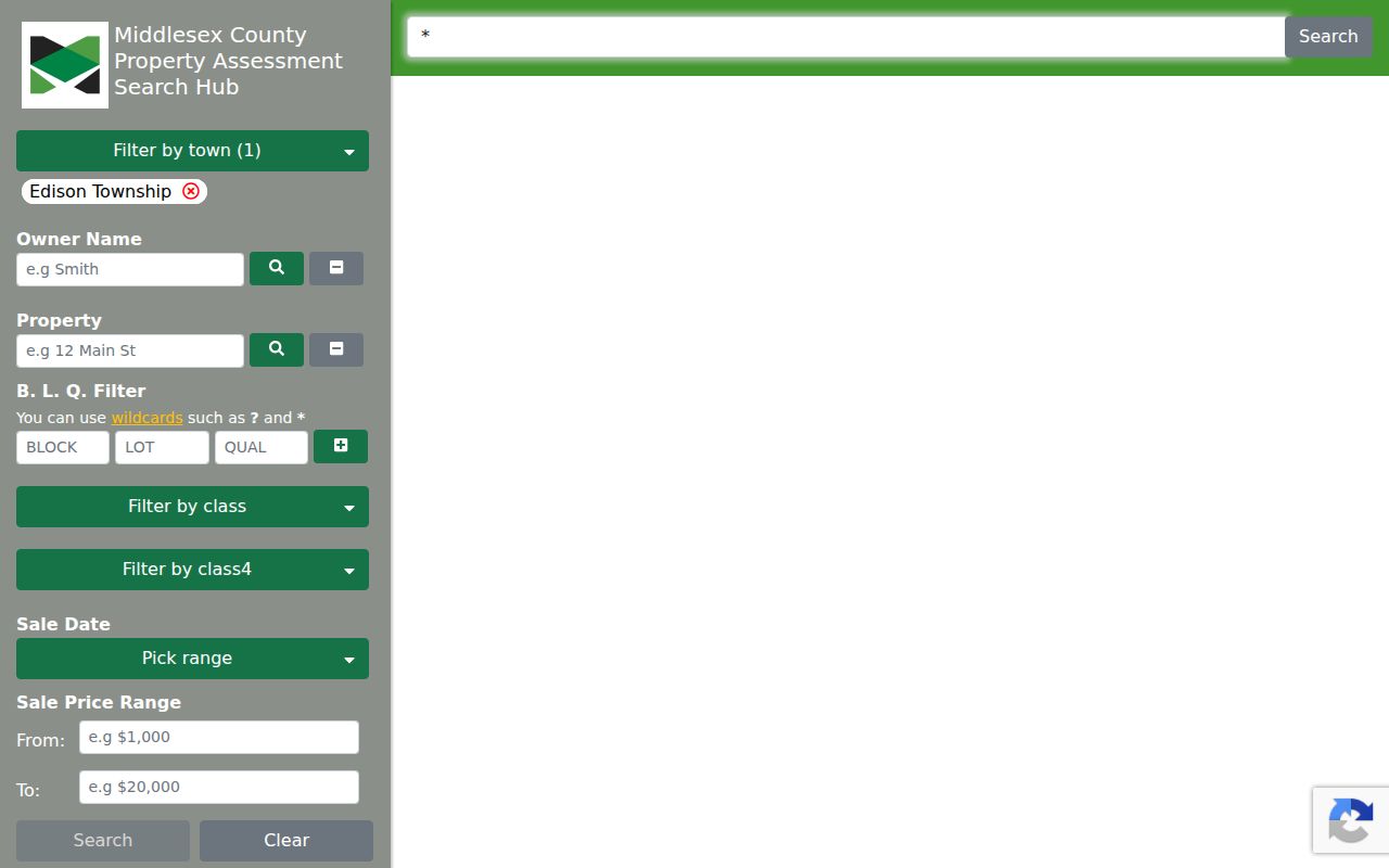
Use the returned owner and mailing fields as Edison assessment evidence, not as a statement of occupancy. A mailing address can be outside Edison, an owner can be an entity, and a current resident may never appear in that owner field.
Map Edison Streets by Parcel
Address results become more reliable when the parcel is checked on a map. The Edison ArcGIS Nearby map is the local map-oriented route and includes a nearby-distance control. For a county layer view, the Middlesex Parcels Public REST service exposes Parcels layer 2 and Tax Blocks layer 3. Its documented Query, Find, and Identify operations can return mapping information in JSON, GeoJSON, or PBF, with up to 2,000 records per query.
Map work is about relationship and location. It can show an Edison parcel polygon, nearby features, tax blocks, and the street context around a result. It is not a legal survey, and an Edison map click does not establish a boundary or occupancy. Use a surveyor for a survey question, and use the County Clerk for the recorded instrument behind a legal description.
The New Jersey Property Explorer provides a statewide backup by address, county, municipality, block, and lot. Its public assessment view can show location or owner, block and lot, annual land and building assessed values, prior-year taxes, and property classification.
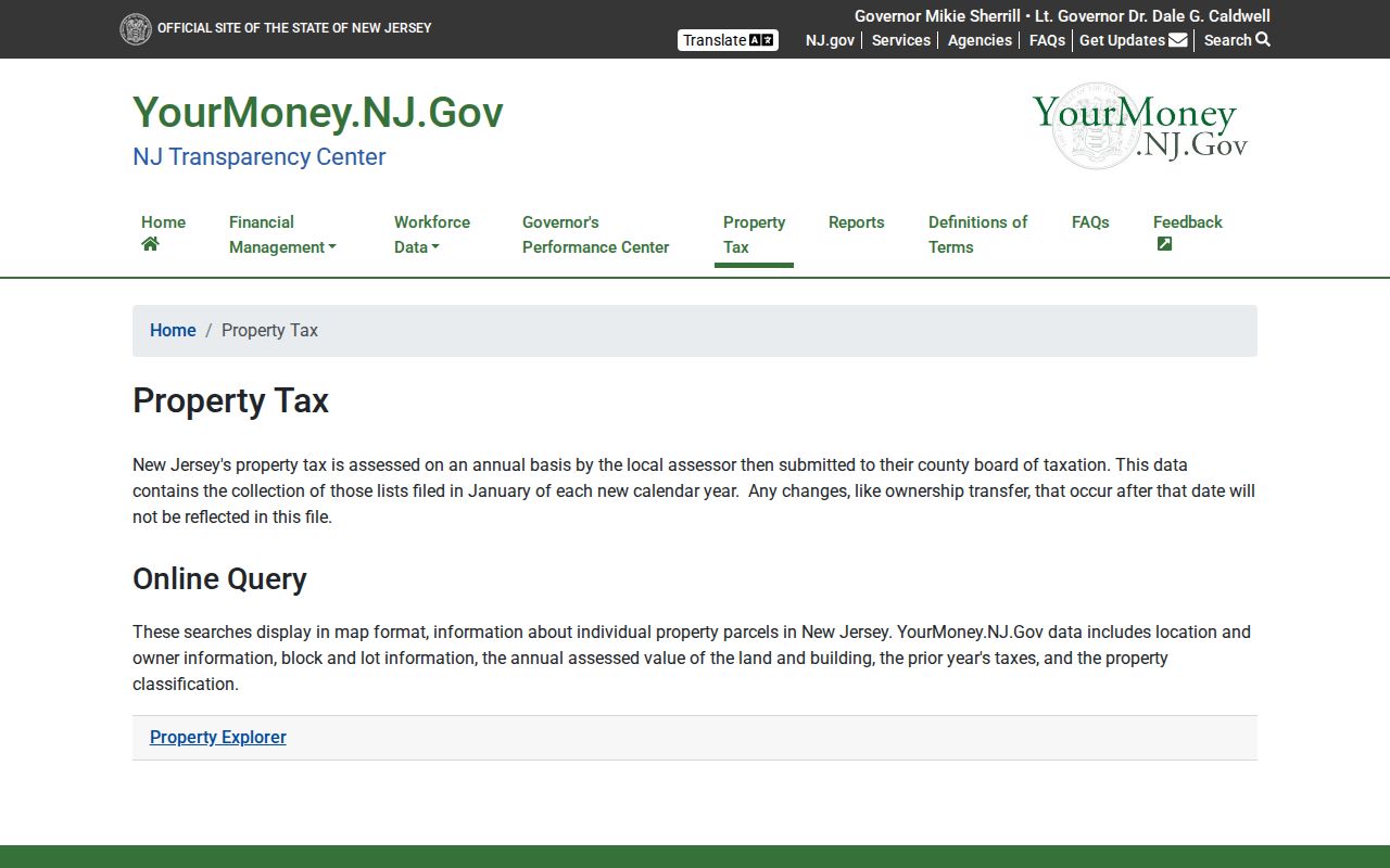
The state map can help reconcile an Edison parcel search, but it is an assessment map rather than a deed-image repository. Current Edison transfers should be checked in the recorded land-record system.
Search Edison Deed Keys
The Middlesex County Official Records browser offers more than a party-name search. Its property paths include Town, Lot/Block, Parcel ID, Map Number, Legal Description Line 1, Instrument Number, and Book/Page. Party Name accepts a last-name first-name form without a comma or a company name, and can be narrowed by document type, town, and date range. Search results state that they include verified documents only, and the browser provides a print-results function.
For Edison street work, use town plus block/lot or parcel information before treating a name hit as the right property. An Edison legal-description search may find a record when the postal street wording changes. When a deed image is available, the County Clerk’s Registry FAQ directs researchers to the Recital or Being Clause, which can identify the prior seller and Deed Book/page. That reference is the bridge to the prior recorded link.
The Middlesex County land-records gateway also leads Edison researchers to the Registry’s access channels. A certified deed copy may be requested in writing or obtained in person for $2 per page plus $10 certification. The Registry is at 75 Bayard Street, fourth floor, New Brunswick, and offers counter and mail channels in addition to the browser. E-recording is for authorized submitters, not a public search channel.
The Official Records browser states coverage from January 1, 1929 for deeds, January 1, 1950 for mortgages, and January 1, 1958 for other documents. A 2022 county announcement says public deeds were digitized back to 1923. These statements are not interchangeable. For 1923 through 1928, test the live record route and ask the Registry about the specific instrument and year rather than assuming the same coverage for every document type.
The Official Records search interface is the source view for the party, town, lot-block, parcel, map, and book-page options.
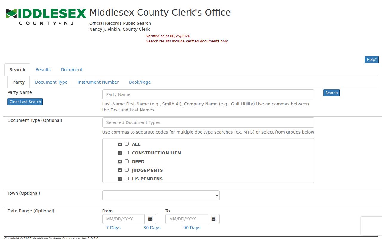
Switching search keys is often more useful than repeating a failed Edison name search. Preserve the instrument number or book/page with any result so the next search can start from a stable recorded reference.
Edison Address Records Compared
Each Edison address-keyed source answers a narrower question than a general people list. The assessor identifies tax and property context. GIS shows mapped parcel relationships. The County Clerk documents recorded instruments. Edison Code Enforcement may hold address-specific permit material. Historical directories and library records add dated published context. Keeping those categories separate makes the final address result more useful and less likely to overstate what a name means.
| Address record | Custodian | Street use | Access route |
|---|---|---|---|
| Assessment record | Edison Tax Assessor | Owner, mailing address, situs, characteristics | TaxDataHub, assessor, or narrow OPRA request |
| Parcel and tax block | Edison ArcGIS and County GIS | Mapped parcel and block relationship | Public map or REST query |
| Deed, lien, release, or map | Middlesex County Clerk Registry | Recorded parties and legal chain | Browser, counter, or copy request |
| Permit or inspection file | Edison Code Enforcement | Property work and address evidence | Department request or OPRA |
| Voter status | New Jersey Division of Elections | Individual self-check only | Official individual Voter Search |
| Historic directory or archive | State Library or Edison Library | Dated household or street reference | Reading-room or collection access |
A tax map is not a survey, and a property record is not an occupant list. If the research goal changes from a named street to one individual, the Edison resident lookup has the separate name-to-record workflow.
Edison Permit Records by Address
Edison permit and code material can provide an address trail, but the research found no public Edison permit-case lookup. Edison Code Enforcement says permits are generally required for construction, enlargement, alteration, or demolition, subject to ordinary-repair exceptions. Additions, fences, sheds, and pools can require plot plans, while zoning and subcode review create records tied to the property.
The fallback for an Edison permit is the department or a focused OPRA request, not an invented online search. Name the address, date range, record type, and permit number if known. The municipal OPRA form is built for a specific record description and delivery or inspection preference. It does not turn an address into a searchable household list. Edison Code Enforcement lists 732-248-7257 and pleary@edisonnj.org for its route.
Note: Ask for the identifiable public portion of a defined permit or inspection record, because OPRA exemptions and redactions can still apply.
Historic Edison Street Labels
Modern Edison property systems can conceal the words used in older records. The township was Raritan Township until 1954, when it adopted the Edison Township name. Older Edison deeds, directories, and local material may therefore use Raritan Township or a local section instead of Edison. A failed present-day street search is a reason to test the historic municipality label, not proof that an address never existed.
The 1964 Edison directory inventory includes Banhamton, Clara Barton, Edison, Menlo Park, Nixon, North Edison, Oak Tree, and Stelton. The 1963 township organization material uses Bonhamtown, including Bonhamtown Civic Association. Search both documented spellings where appropriate, and keep the volume’s printed scope with the result. Menlo Park, Pumptown, Stephenville, Heights of Edison, and West Edison can also be useful historic local terms in archive or newspaper work.
Historic published addresses belong to their own date and source. The Edison city directory concentrates on the State Library holdings and dated directory evidence rather than treating those old entries as current address proof.
Verify ZIPs on Edison Streets
USPS delivery labels are useful filters for an Edison street search, not parcel boundaries. The official DMM material associates Edison delivery with 08817 and 08818, and with 08820 and 08837. For a specific Edison address, use USPS rather than guessing from a neighborhood name. The source associates 08817 with standard Edison delivery and South Edison in historical material; 08820 with Edison delivery and North Edison in historical material; and 08837 with Edison and Clara Barton associations.
08818 requires added care because the research identifies an Edison PO-box or alternate Edison association and does not establish an Edison street-delivery boundary. The DMM groupings for 08837 and 08818 use broader last-line groupings, so a particular address still needs verification. A ZIP can cross municipal lines or use a nearby postal city, while the legal Edison property search belongs under municipality, tax district, block, lot, and deed description.
Note: Record the USPS last line beside the legal municipality so a postal label never replaces the parcel’s jurisdictional record.
Edison Street Record Terms
Edison street records use similar words for different things. A short glossary makes an Edison street search easier to audit, especially when an address appears in an assessor result, a Clerk index, and an older printed volume. The terms below identify the sort of evidence in hand, not a conclusion about a household.
- Parcel
- A mapped property unit used in assessment and GIS systems. Its polygon is mapping data, not a legal survey.
- Situs address
- The property location address. It differs from the owner or tax-mailing address when notices go elsewhere.
- Block, lot, and qualifier
- Tax and property identifiers that help distinguish a parcel from a similar street-name result.
- PAMS-PIN
- A parcel identifier used with New Jersey assessment and parcel data to connect property-system records.
- Criss-cross directory
- A reverse-style historical directory arranged to support address or street research for its stated year and scope.
For an Edison apartment or shared building, keep the unit exactly as supplied. The recorded deed may cover the whole parcel or a condominium association, while an assessment can represent one taxable unit and a directory may name only a householder.
Edison Street Record Limits
An Edison address-record search can organize public property and historical references, but it cannot produce a complete current household roster. The assessed owner, tax-mailing recipient, recorded grantee, directory-listed household, and occupant are different categories. A property owner can live elsewhere, an owner can be a business or trust, and a current occupant may be absent from every public source used here.
Utilities and motor-vehicle data are not substitutes for the Edison public property trail. The New Jersey MVC protects personal information under the federal Driver’s Privacy Protection Act. The voter tool remains an individual status check rather than a public roll. A missing Edison address can also reflect an unindexed record, a jurisdiction mismatch, a spelling variation, or a lawful confidentiality protection.
Lawful use. Use Edison address and land records for personal, civic, property, family-history, or estate research. Do not use them to stalk, harass, intimidate, or harm anyone; New Jersey law restricts that conduct, and protected-address programs can suppress legitimate records.
Edison Street Privacy Boundaries
New Jersey’s Address Confidentiality Program can provide a substitute address to qualifying participants, and Daniel’s Law protects certain eligible officials and household members from public display of home addresses and unpublished phone numbers. Those protections explain why an Edison parcel, map, or related public record may show a redaction or less detail than expected. They do not make an Edison street search a reason to seek around a protective boundary.
For Edison municipal material not already published, OPRA is the route for a specific identifiable record. The Edison Clerk is the local custodian route, while the County Clerk browser and Registry handle already-published land records. Ask for the segregable public portion when appropriate and preserve the response, rather than treating an incomplete return as an invitation to compile private data.
Note: A careful result identifies whether it is an assessed owner, recorded party, map feature, permit record, or dated directory entry before it is shared.