
Edison Postal Directory Coverage
USPS material associates four documented delivery or alternate groups with Edison: 08817, 08818, 08820, and 08837. The postal listing is a last-line and delivery-office reference, not a township map. Use the table as a starting point for the Edison postal directory, then verify an actual street address before using a ZIP in a parcel, directory, or public-record search. A PO-box or alternate grouping requires extra care because it may not describe a street-delivery boundary.
| ZIP | USPS-associated area | Post office or last line | Verification condition |
|---|---|---|---|
| 08817 | Edison delivery area; South Edison in dated local material | Edison, NJ 08817 | Standard delivery ZIP, confirm the exact address with USPS |
| 08818 | Edison PO-box or alternate Edison association | Edison, NJ 08817 line grouping | Do not infer a street-delivery boundary |
| 08820 | Edison delivery area; North Edison in dated local material | Edison, NJ 08820 | Confirm nearby postal geography by address |
| 08837 | Edison and Clara Barton association | Edison, NJ 08820 line grouping | Verify every specific street address |
These groupings do not make every address with an Edison postal label an Edison Township parcel. They establish delivery context. The legal municipality, tax district, and block/lot still belong in the records note.
USPS Edison Delivery Check
The USPS ZIP Code Lookup is the current check for one Edison address. Search by the street address rather than by a city name alone. Save the returned ZIP, the ZIP+4 if the tool displays it, the delivery city or last line, and whether the result is a street address or a PO Box. That small record prevents a historical label or a nearby postal city from being mistaken for the current delivery assignment.
| USPS lookup item | Why it belongs in the record |
|---|---|
| Street address input | Tests the exact delivery location instead of a broad city string. |
| Returned ZIP | Provides the current postal sorting value for the address. |
| ZIP+4, if displayed | Adds delivery precision but does not create a legal parcel boundary. |
| Delivery city or last line | Preserves USPS wording without substituting it for municipality. |
| Street or PO Box result | Separates a physical delivery result from a box-associated ZIP. |
The USPS address-to-ZIP lookup is the source interface for this verification step.
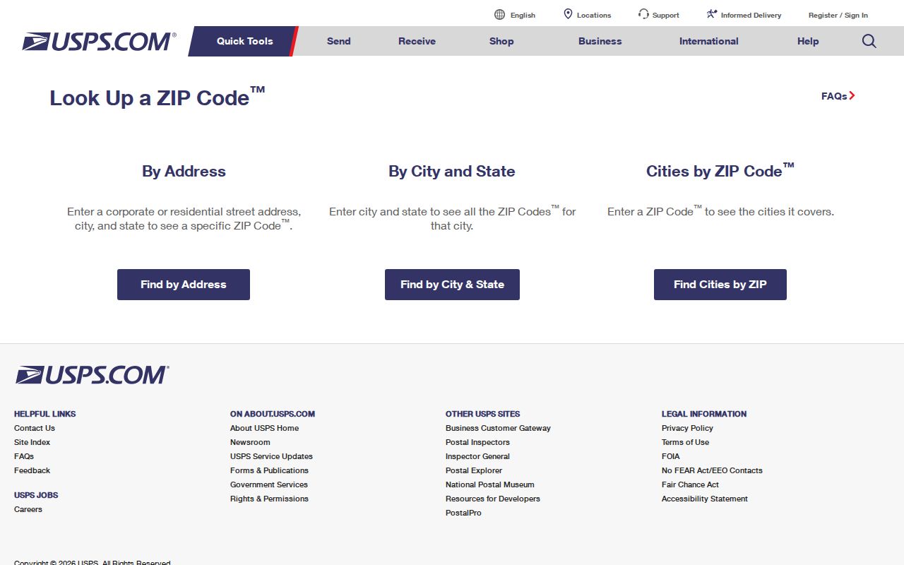
A postal result answers a delivery question. Pair it with an assessor or GIS result before calling the address an Edison municipal or county-record match.
Edison Postal Directory Workflow
A ZIP narrows a search, but it should not be the only key. The most reliable Edison postal directory workflow moves from the validated postal address to the legal property identifiers, then to the document index. This sequence also keeps an owner’s mailing ZIP from being confused with the ZIP of the property itself.
- Standardize the street address and run it through USPS to verify the delivery ZIP and last line.
- Use the returned address in the Edison assessment route to capture the situs, block, lot, qualifier, and parcel information.
- Check the parcel in Edison ArcGIS or the Middlesex County parcel layers to confirm its mapped municipal context.
- Search the Middlesex County Clerk Registry by town, lot/block, parcel, legal description, or book/page when a recorded instrument is needed.
- Use a historic ZIP or section label only when searching dated directory, archive, or newspaper material.
Once a ZIP result has been narrowed to a particular road or parcel, the Edison street directory provides the full address-to-deed sequence. The ZIP alone does not show who occupies every address within its delivery area.
Note: Preserve both the USPS result date and the assessment or GIS query date because postal and property records are maintained separately.
Edison ZIP Records and Parcels
Postal geography and property geography are different systems. The Edison Township Tax Assessor links to TaxDataHub, where the Edison context includes owner name, property location or address, block, lot, qualifier, and sales or assessment paths. Use those fields to move beyond a ZIP-only match. The assessor distinguishes the situs location from the owner or tax-mailing address, which may be elsewhere.
The New Jersey Property Explorer is a statewide assessment route that searches by address, county, municipality, block, and lot. It can display property location or owner, assessed land and building values, prior-year taxes, and classification. It is not a deed-image source. For the recorded legal chain, use the Middlesex County Official Records browser after the parcel identifiers are known.
Map confirmation comes from the local ArcGIS view or the county’s public parcel layers. Those sources show the parcel or tax-block relationship, but a parcel polygon is not a survey. The field that settles a land-record search is the municipality and block/lot or legal-description match, not merely a ZIP label.
Edison Postal Code History
Older ZIP references can help find the right local term, as long as they remain date-stamped. A digitized 1979 Edison township publication groups South Edison with 08817, Clara Barton with 08837, North Edison with 08820, and Edison P.O. boxes with 08818. That is a useful historical crosswalk for reading older material. It is not a replacement for a current USPS result.
USPS Postal Bulletin notices also show destination or ZIP changes involving 08817 and 08818, and 08820 and 08837, in 2016 and 2017. The research does not establish that every Edison address changed at the same time. The notices show why an old label can differ from a later delivery label without any change to the parcel, street, or township boundary.
The Edison postal record therefore keeps four values apart: the historic neighborhood label, the historical ZIP in its source year, the current USPS return, and the legal municipality in property records. This helps when an archive says Raritan Township, a 1979 publication uses a neighborhood name, and a current postal result uses Edison.
Edison Postal Geography Nearby
Nearby ZIP labels can enter a search near Edison without identifying Edison Township. USPS DMM material places 08830 and 08840 under the Metuchen last line. It places 08902, 08903, and 08989 under the North Brunswick last line. They are adjacent postal geography, not Edison postal coverage, and should not be folded into an Edison address list merely because an online result seems nearby.
A postal-city match must be checked against the assessor or GIS municipality. This is especially important when a record system accepts a city string but the County Clerk indexes land records by town, block/lot, parcel, map number, or legal-description line. A mailing address in Metuchen or North Brunswick also does not change the jurisdiction of an Edison property parcel.
The official materials used here confirm the four Edison groupings in the coverage table, but they did not establish 08899 or 08906 as Edison ZIPs. Leave a special or alternate code out until a current address-specific postal result supports it. A complete-looking list with an unverified ZIP is less useful than a short, documented one.
Note: Treat a nearby postal label as a prompt to verify the property, never as evidence that the address lies inside Edison Township.
Edison Postal Delivery Terms
These terms make the limits of an Edison postal directory easier to see. Postal terminology describes delivery and sorting. Land-record terminology identifies property. A clean search note uses both, without treating either one as a substitute for the other.
- ZIP code
- A USPS delivery and sorting designation. It can cross a municipal boundary and has no legal parcel line.
- ZIP+4
- An added delivery segment that may appear in a USPS result. It improves postal precision but does not prove property jurisdiction.
- PO-box ZIP
- A ZIP associated with post-office boxes or an alternate postal grouping. It may not represent ordinary street delivery.
- Unique ZIP
- A ZIP assigned to a single institution or organization. The research did not establish one for Edison, so do not assume one exists.
- Carrier route
- A USPS delivery-route grouping. It is useful postal context, not a municipal boundary or resident roster.
For parcel work, record the legal municipality, tax district, block and lot, and PAMS-PIN if available. For postal work, retain the returned last line and ZIP from the verification date.
Edison Postal Boundaries
ZIP boundaries and Edison Township limits do not answer the same question. USPS assigns delivery routes and last-line city names. The assessor and GIS identify the municipality and parcel. The County Clerk records a property through town, block/lot, parcel, map, or legal description. Voter administration uses the legal municipality and election district, not a postal label alone.
Use ZIP as an organizing layer, not a way to report every person in a delivery area as an Edison resident. An owner’s mailing address can have another ZIP, a parcel can sit near a neighboring post office, and a historical source can use an older section or township name. Property evidence should be labeled assessed owner, tax-mailing recipient, recorded party, or historic directory entry, never converted into an unsupported claim of current occupancy.
Boundary caution. USPS is the authority for current address delivery. Edison and Middlesex property systems are the authority for municipal and parcel context; confirm both before relying on a ZIP-based result.
Edison Postal Record Limits
A ZIP-based directory is useful for verification, sorting, and historical research, but it cannot replace the custodian that holds the requested record. Use USPS for delivery, the assessor for assessment context, GIS for mapped parcel context, and the Middlesex County Official Records browser for recorded land instruments. If a specific municipal record is not online, OPRA is the focused request route through the proper custodian.
New Jersey’s public voter tool is an individual registration-status check, not an unrestricted ZIP list. Protected-address programs, redactions, and separate custody or vital-record rules may also limit what appears. Those limits are part of an accurate result, not gaps to work around.
Note: Use public records for lawful personal, property, civic, family-history, or estate research, and never to harass, intimidate, or harm another person.